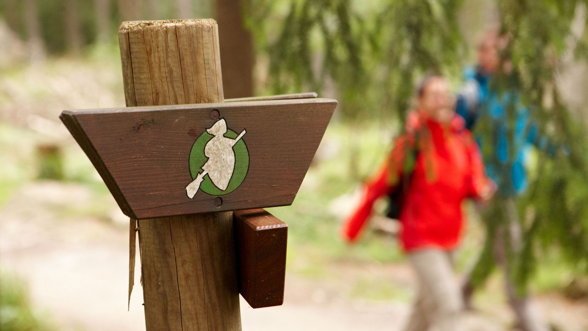
Harzer-Hexen-Stieg

Exciting discovery tour through the Harz

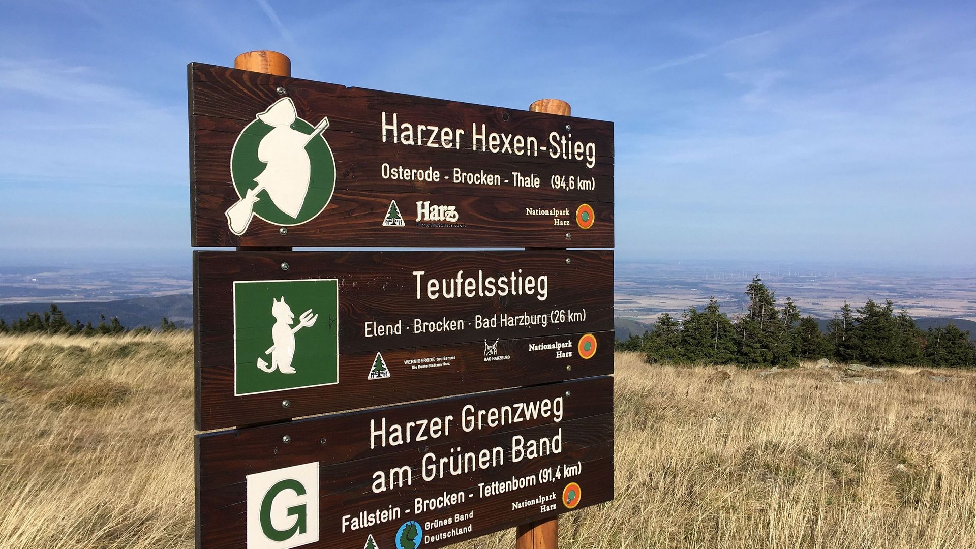
The Harzer-Hexen-Stieg is not a simple hiking trail, because here you can get to know the entire Harz Mountains in detail on just one hiking route. Over 94 km, the route leads diagonally across the Harz, taking you through historic Harz towns, the Harz National Park, as well as the former inner-German border and the highest mountain in northern Germany, the Brocken.

All by yourself you will discover popular sights such as the spectacular Bodetal Gorge, dripstone caves, mining relics, natural monuments and beautiful mountain lakes!

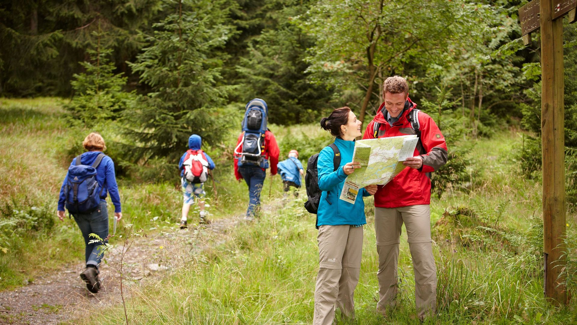
The Harzer-Hexen-Stieg is also ideal for beginners and families with children, as the Brocken can also be bypassed.

97 km

Length

966 m

Difference in height

1141 m

Highest point: Brocken

175 m

Lowest point: Thale

Tip:

Hiking guide

Route description in both directions, 5 stages, 2 alternative routes, altitude profiles, graphics, overview map, places to stop for refreshments and overnight stays, GPS tracks, stamps and a brochure.


The Harzer-Hexen-Stieg stages

Stage 1 – from Osterode to Buntenbock

Difficulty: easy

Distance: 11,6 km

Duration: 4:00

Highest point: 492 hm

Lowest point: 152 hm
 

2nd stage – from Buntenbock to Torfhaus

Difficulty: medium

Distance: 22 km

Duration: 5:30 h

Highest point: 582 hm

Lowest point: 347 hm

3rd stage – from Torfhaus to Drei Annen

Difficulty: medium

Distance: 19,7 km

Duration: 5:00

Highest point: 597 hm

Lowest point: 339 hm


4th stage South variant – from Drei Annen Hohne via Hasselfelde to Altenbrak

Difficulty: medium

Distance: 28,6 km

Duration: 7:30 h

Highest point: 412 hm

Lowest point: 170 hm


4. Etappe Nordvariante - von Drei Annen Hohne über Rübeland nach Altenbrak

Difficulty: medium

Distance: 29,6 km

Duration: 7:30 h

Highest point: 492 hm

Lowest point: 221 hm


Stage 5 – from Altenbrak to Thale

Difficulty: medium
Distance: 14,1 km
Duration: 4:00
Highest point: 516 hm
Lowest point: 392 hm


Variant over "Titan RT" - the longest suspension bridge of its kind

Difficulty: medium
Distance: 5,6 km
Duration: 1:42 h
Highest point: 201 hm
Lowest point: 193 hm


Brocken bypass

Difficulty: difficult
Distance: 35,1 km
Duration: 10:00 h
Highest point: 734 hm
Lowest point: 396 hm


Here you will find your accommodation for the hiking weekend

Suchen
Buchen
Events
Touren
Gastronomie
24.09.2024
01.10.2024

It appears that you are using Microsoft Internet Explorer as your web browser to access our site.

For practical and security reasons, we recommend that you use a current web browser such as Firefox, Chrome, Safari, Opera, or Edge. Internet Explorer does not always display the complete content of our website and does not offer all the necessary functions.