© Michael Mehle

UNESCO World Heritage in the Harz Mountains

Upper Harz water management

On the trail of the world heritage

Wooden boardway with a view of the Oderteich

[Translate to Englisch:] Holzsteg mit Blick auf den Oderteich
© Christian Barsch

Discover the Harz Mountains in a whole new way with exciting cultural and natural experiences. The Harz Mountains have the highest density of UNESCO World Heritage Sites in Germany. For example, parts of the Oberharzer Wasserwirtschaft (Upper Harz Water Management) are also located in Sankt Andreasberg. This world's largest energy system of the pre-industrial era was awarded the title "World Heritage Site of Humanity" by UNESCO in 2010. One of the highlights of the Harz World Heritage Site is the Samson Mine in Sankt Andreasberg with a world-class historical mechanical engineering monument, the world's only still functioning "driving art". History is brought to life here in a variety of ways. Let yourself be inspired by exciting mine visits above and below ground.

The ingenious network of kilometre-long ditches, tunnels and ponds for energy production still characterises the Harz landscape today. Over 200 square kilometres of landscape, museums and monuments bring 3000 years of mining culture and history to life.

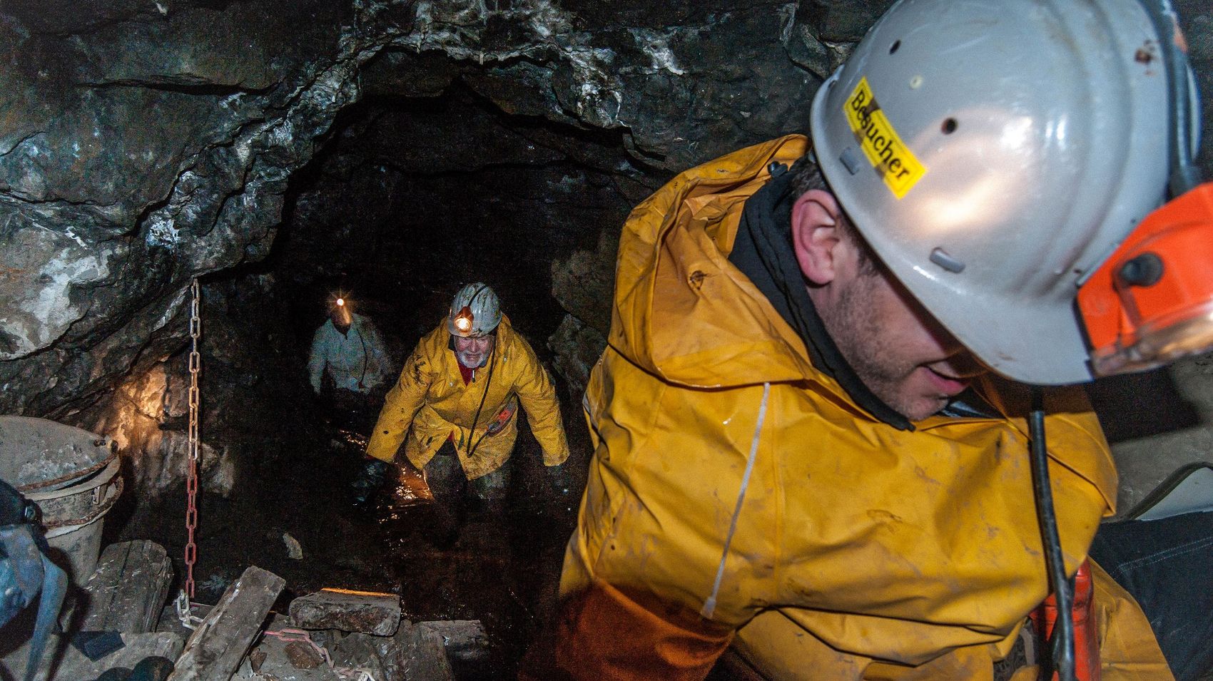
World Heritage Site Samson Mine Sankt Andreasberg

Drei Bergarbeiter sind mit Grubenhelm und Grubenlampe unter Tage im Stollen unterwegs.
© Stefan Barkhoff

Three miners with miner's helmets and miner's lamps are underground in the mine.

The former Samson silver ore mine is one of Germany's most important mining monuments and, at 810m, was once the deepest mine in the world. The historic "art of driving" is still used today to bring technicians to the turbines installed at depths of 130 and 190 metres. This is because the shaft of the Samson mine is still used for energy production today. Today, St. Andreasberg can be supplied almost entirely with regeneratively generated electricity and, together with the Samson mine, is part of the UNESCO World Heritage Site.

.


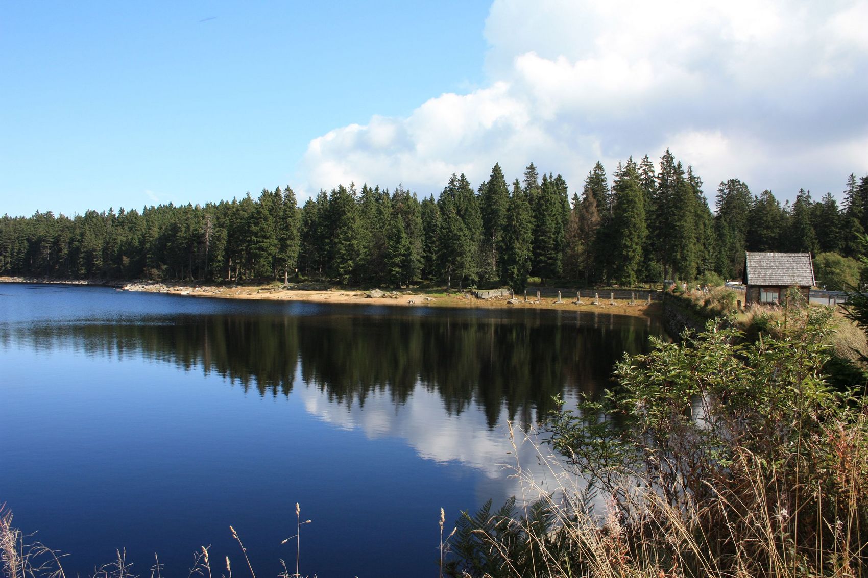
Oderteich and Rehberger Graben

Der Oderteich mit Blick auf die Ausflut und Granitstelen fotografiert. Um den Teich sind grüne Fichten zu sehen. Rechts verläuft die Bundesstraße.
© Christian Barsch

The Oderteich photographed with a view of the outflow and granite stelae. Green spruces can be seen around the pond. The main road runs to the right.


The Oderteich, built between 1715 and 1722, was Germany's largest dam until the end of the 19th century. A 4 km long circular trail leads through the Harz National Park. The water of the Oderteich and the Rehberger Graben used to drive the water wheels in the mines. Today, the water from the historic Oberharz water management system is still used. Six turbines generate enough electricity from hydropower to supply the mountain town of St. Andreasberg almost entirely with renewable energy. So sustainable energy generation has been a reality there for centuries. The path from the Oderteich to St. Andreasberg along the Rehberger Graben is a beautiful water hiking trail and also leads to the popular historic Rehberger Grabenhaus. If you follow it to the end, you will reach the Hilfe-Gottes-Teich (God's Help Pond), which was created in 1722 as a water reserve for mining and is located directly near the Samson mine.


[Translate to Englisch:] Blick auf den Oderteich
"The task is not to see what no one has seen, but to think what no one has thought about what everyone sees."

Arthur Schopenhauer

It appears that you are using Microsoft Internet Explorer as your web browser to access our site.

For practical and security reasons, we recommend that you use a current web browser such as Firefox, Chrome, Safari, Opera, or Edge. Internet Explorer does not always display the complete content of our website and does not offer all the necessary functions.